
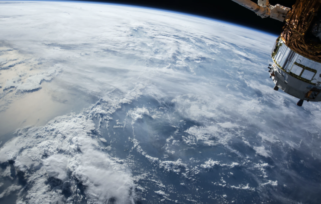
After a terrifying series of green beams fell from the sky over the Hawaiian Islands a month ago, astronomers who studied the glowing green wall are now claiming that the lasers originated from a Chinese satellite.
The National Astronomical Observatory of Japan (NAOJ) drew attention to this strange situation in a tweet posted from their official account on January 30. The tweet said that “Subaru-Asahi Star Camera captures green laser light in cloudy skies over Maunakea, Hawaii. ‘Me.” Their first guess was that it was coming from a known “remote sensing altimeter satellite ICESAT”, but after further research they have now come to a different conclusion.
On January 28, 2023, HST’s Subaru-Asahi Star Camera captured green laser light in the cloudy sky over Mauna Kea, Hawaii. The lights are believed to be from a remote-sensing altimeter satellite ICESAT-2/43613.
Watch the video: https://t.co/xqoJvSa24s#SubaruTelescope pic.twitter.com/5hhIsewuNp— Subaru Telescope Eng (@SubaruTel_Eng) January 31, 2023
On February 6, NASA scientists revised the station’s initial theory and now claim that it was a Chinese satellite that was responsible for the green lasers.
The scientists “simulated the trajectories of satellites that have a similar instrument and found a possible candidate as the ACDL instrument by the Chinese Daqi-1/AEMS satellite.”
“We really appreciate their efforts in detecting the light,” NAOJ said. “We regret our confusion regarding this event and its potential impact on the ICESat-2 team.”
WATCH 🚨 Suspected Chinese Satellite Shoots Mysterious Green Laser Wall At Ground, Seen Over Hawaii pic.twitter.com/k8ORTVsWgZ
— The Insider Paper (@TheInsiderPaper) February 9, 2023
Support conservative voices!
Sign up to get the latest Political news, insights, and commentary delivered straight to your inbox.
RELATED: US military admits to shooting down ‘high-altitude flying object’ over Alaska ‘out of an abundance of caution’
So what were the beams?
According to astronomer Roy Gale during an interview with KHON2, the large green beams emitted from the satellite are intended to measure pollutants.
“It has a lot of different instruments,” Cheek said. “Some sort of topographical mapping or they’re also used to measure elements of the Earth’s atmosphere, and I think that’s it, environmental measurement satellites.”
While the Chinese satellite activity may be benign in nature, the timing comes at a time of heightened tensions between the US and China. Even so, Gale, who is a full-time researcher at the University of Hawaii’s Astronomy Institute, doesn’t believe the observed activity poses any threat.
“No, it’s not dangerous in Hawaii or anywhere else. We have aircraft to measure this all the time,” Cheek said. “If you look at high-precision topographical maps, they’re sometimes made using this kind of thing.”
However, not everyone is on board with the cheek that this is not at all suspicious activity by the Chinese.
According to Ray L’Heureux, former chief of staff for Marine Forces Pacific, he worries why the Chinese, “who are probably the most prolific polluters on the planet — would collect data on polluters on this side of the Pacific.”
Now is the time to support and share your sources of faith.
Ranked #3 on FeedSpot’s “100 Best Political Blogs and Websites” by The Political Insider.